Marine navigation app that enables you to access charts and details provided by the ActiveCaptain service so you can either plan your trip or navigate a route as long as you also connect a GPS device. #Marine navigation #Chart visualizer #Boat trip planner #Navigation #Marine #GPS
Charts&Tides is a chart visualizer designed to provide support to maritime navigators to both plan their trips and follow a route. The app does not come with built-in nautical charts, but you do have the option to purchase some through the in-app store.
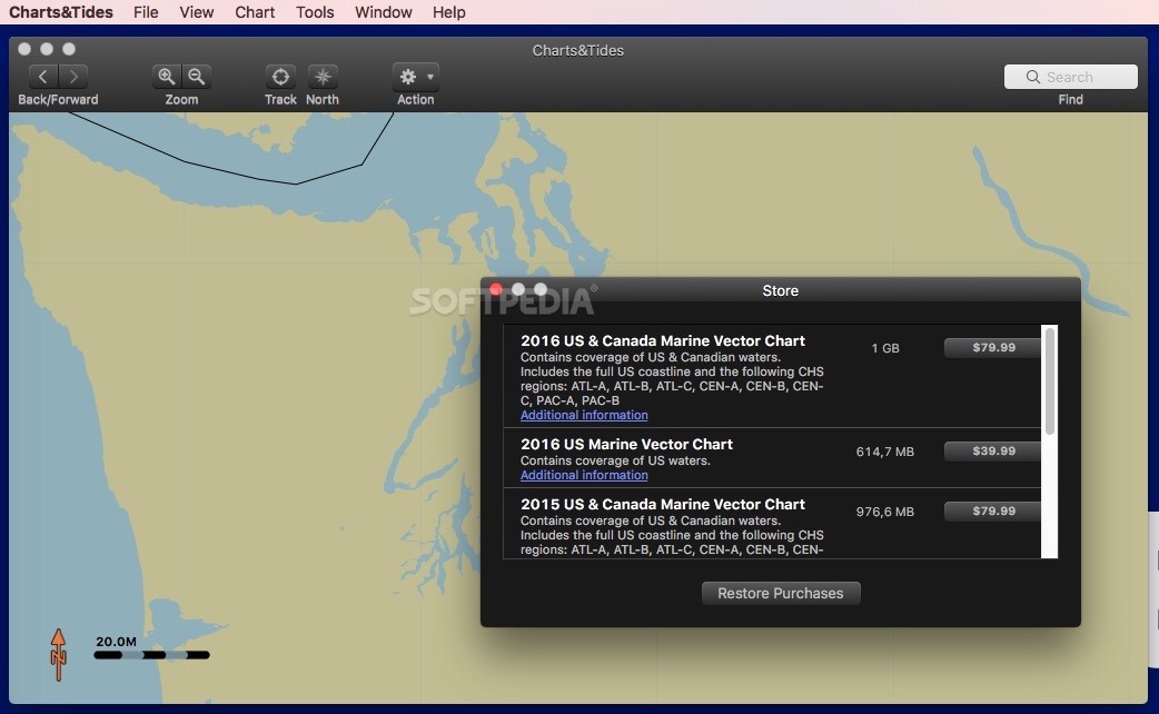
Through the Charts&Tides store, you get to buy vector marine charts for the US and Canada and then explore them within the app’s main window. You get to navigate back and forward, zoom in and out or point out north.
Charts&Tides also comes with a collection of instruments that can be used to determine the position, speed, track, distance, bearing, VGM, DTK, ETE, or XTE. You get to define waypoints and construct routes.
Note that Charts&Tides delivers control over the chart viewing mode, so you can adjust the color palette depending on the time of the day, opt for paper or simplified symbols, adjust the size of various contours, choose to see details about the tides and currents, and so on.
Within the Charts&Tides Preferences window, you can sign into your ActiveCaptain account and get access to the extensive chart database and information provided by the service directly in the app.
As a result, Charts&Tides not only integrates details about the tide levels and speed, but also other relevant information about hazards or marinas you might encounter in your way.
The app updates the ActiveCaptain database periodically and stores the info offline, so you are able to access the details even without an active internet connection.
Moreover, you can connect a GPS device to your computer, and Charts&Tides will be able to use the information to help you navigate the route. The utility can work with devices that rely on the GPSD or NMEA 0183 standard.
Charts&Tides delivers access to maritime vector maps that rely on CHS and NOAA cartography and can connect the ActiveCaptain database to deliver quick access to information about tide level and speed, hazards, marinas, and so on.
You can use the chart viewer to plan your routes and export the information to the GPX format. To track the location of your vessel, Charts&Tides also allows you to connect a GPS device.
If you use the Charts&Tides app during the navigation, the utility can also work with AIS devices, can display CPA alerts, and can alternate the day and night view to help you protect your vision.
What's new in Charts&Tides 1.3.15159:
- Updated for OS X Yosemite
- Misc other fixes
Charts&Tides 1.3.15159
add to watchlist add to download basket send us an update REPORT- runs on:
- OS X 10.8 or later (Intel only)
- file size:
- 30.5 MB
- main category:
- Utilities
- developer:
- visit homepage
calibre

ShareX

Microsoft Teams

Zoom Client

Context Menu Manager

Windows Sandbox Launcher

7-Zip

IrfanView

4k Video Downloader

Bitdefender Antivirus Free

- IrfanView
- 4k Video Downloader
- Bitdefender Antivirus Free
- calibre
- ShareX
- Microsoft Teams
- Zoom Client
- Context Menu Manager
- Windows Sandbox Launcher
- 7-Zip