Macintosh geographic information system utility with support for sophisticated layout, direct editing, as well as image georeferencing. #GIS data viewer #Georeferenced data #Import vector data #GIS #Viewer #Map
Cartographica is built for people who create maps using spatial data and want to convert them between formats.
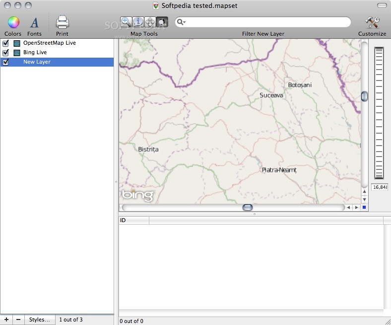
Moreover, Cartographica's design emphasizes the easiness of import, exploration, analysis and output.
The Cartographica application also assists you in bringing in your georeferenced raster data (like orthophotos and satellite imagery) or your vector data from almost any source, or even CSV text files.
System requirements
- 1GB of RAM
- 1GB of disk space
Limitations in the unregistered version
- 30 days trial
Download Hubs
Cartographica is part of these download collections: View JPX, View JPC, Open JPC, GIS Tools
What's new in Cartographica 1.5.5:
- New Features:
- Added support for creating rasters from Vector point data [CARTOMAC-1896]
- Added support for MapBox-based Geocoding [CARTOMAC-2049]
Cartographica 1.5.5
add to watchlist add to download basket send us an update REPORT- runs on:
- macOS 10.13.6 or later (Intel only)
- file size:
- 224.3 MB
- filename:
- Cartographica.dmg
9 screenshots:
- main category:
- Educational
- developer:
- visit homepage
Zoom Client
The official desktop client for Zoom, the popular video conferencing and collaboration tool used by millions of people worldwide

Windows Sandbox Launcher
Set up the Windows Sandbox parameters to your specific requirements, with this dedicated launcher that features advanced parametrization

4k Video Downloader
Export your favorite YouTube videos and playlists with this intuitive, lightweight program, built to facilitate downloading clips from the popular website

ShareX
Capture your screen, create GIFs, and record videos through this versatile solution that includes various other amenities: an OCR scanner, image uploader, URL shortener, and much more

Context Menu Manager
Customize Windows’ original right-click context menu using this free, portable and open-source utility meant to enhance your workflow

calibre
Effortlessly keep your e-book library thoroughly organized with the help of the numerous features offered by this efficient and capable manager

Microsoft Teams
Effortlessly chat, collaborate on projects, and transfer files within a business-like environment by employing this Microsoft-vetted application

7-Zip
An intuitive application with a very good compression ratio that can help you not only create and extract archives, but also test them for errors

IrfanView
With support for a long list of plugins, this minimalistic utility helps you view images, as well as edit and convert them using a built-in batch mode

Bitdefender Antivirus Free
Feather-light and free antivirus solution from renowned developer that keeps the PC protected at all times from malware without requiring user configuration

% discount
7-Zip
- 7-Zip
- IrfanView
- Bitdefender Antivirus Free
- Zoom Client
- Windows Sandbox Launcher
- 4k Video Downloader
- ShareX
- Context Menu Manager
- calibre
- Microsoft Teams
essentials
Load comments
This enables Disqus, Inc. to process some of your data. Disqus privacy policy