Helps you effortlessly add coordinates from gps trackfile to images using Automator. #Automator action #Add coordinate #GPS image #Automator #Action #Add
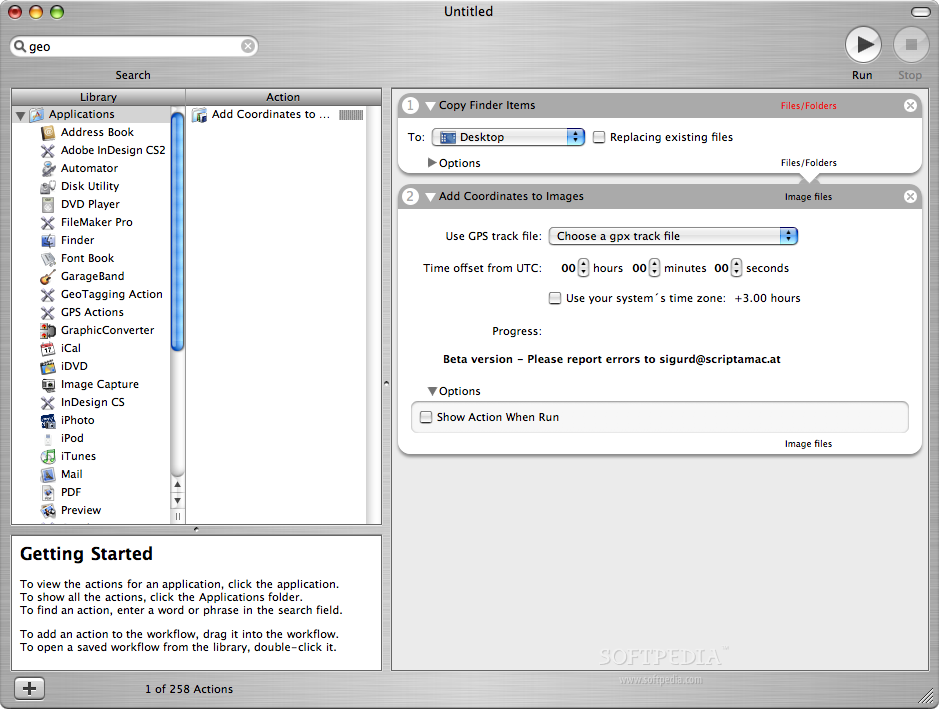
The GeoTagging Automator Action automatically tags your images with geographical coordinates and elevation data from a GPS track file.
GeoTagging Automator Action will support a great range of image formats, including many raw image formats like Nikon NEF, Canon CR2 and Adobe DNG.
How to use it:
■ Take your GPS receiver with you while shooting. ■ Download the resulting GPS track file to your Mac (perhaps using the GPS Automator Actions). ■ Now the GeoTagging Automator Action uses the time and location recorded by your GPS and the capture time embedded in your images to determine the correct location of your picture. ■ You can use this information to organize your images, plot the images to maps or display it in Google Earth (functionality to establish these things will be included in the final release).
GeoTagging Automator Action 1.0.3
add to watchlist add to download basket send us an update REPORT- runs on:
- Mac OS X 10.4 or later (PPC & Intel)
- file size:
- 1.4 MB
- filename:
- GeoTaggingActions.zip
- main category:
- Automator Actions & Workflows
- developer:
paint.net

ShareX

calibre

4k Video Downloader

Windows Sandbox Launcher

Zoom Client

7-Zip

Microsoft Teams

IrfanView

Bitdefender Antivirus Free

- Microsoft Teams
- IrfanView
- Bitdefender Antivirus Free
- paint.net
- ShareX
- calibre
- 4k Video Downloader
- Windows Sandbox Launcher
- Zoom Client
- 7-Zip